Discover one of the hidden gems for hikers in Málaga
Ronda mountains, Málaga
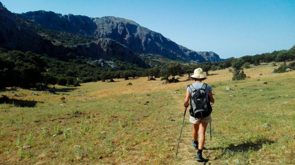
The Natural Park of Sierra de Grazalema is located between the provinces of Cádiz and Málaga. These limestone mountains form the western tip of the Cordillera Betica range and there is only low lying land from here to the Atlantic coast. A history of high rainfall has created the cliffs, crags, caves, sink holes, river valleys and gorges that make the area so varied. In fact, this mountain range from Cádiz rises between 600 and 1600 metres on the surrounding valleys and depressions. For instance, Garganta Verde, tucked into Sierra de Grazalema Park in Andalucía, is a 400-metre deep canyon. We will discover together some walking trails in Sierra de Grazalema.
- Location: Sierra de Grazalema Park, 90 miles west of Málaga airport and 76 miles east of Gibraltar airport.
- Length: 51,000 hectares -mile out-and-back
- Difficulty Rating: Easy
- Best For: Exploring a fantastic landscape
- Dogs: Leashed
The park consists of an area of 53,411 hectares in the western zone of the Betic Cordillera. The park envelops a total of 14 municipalities, on the surface of the Park: Grazalema, Zahara de la Sierra, Villaluenga de la Sierra, Villaluenga del Rosario, Benaocaz, Ubrique, El Bosque, Prado del Rey, El Gastor y Algodonales are within the Cádiz side of the park. Benaoján, Montejaque, Cortés de la Frontera, Jimena de Líbar and Ronda in Málaga province.
‘El Torreón’ is the highest peak in the stunning Sierra de Grazalema Natural Park, at 1,654m with views over Gibraltar and Africa.
Furthermore, there are also frequent caves among which we can mention the “Complejo Hundidero-Gato”, the biggest cave in Andalusia or the “Cueva de la Pileta. This place is worldwide famous for its prehistoric remains.
Sierra de Grazalema trails: the hikes
If walking is your thing, then there are a series of excellent sign-marked walks heading off from the town to all directions. A number head through the famous Tajo Gorge, while others head off to ‘secret’ spots, such as the incredible fan-shaped cave, Cueva de Abanico, in a stunning nearby valley.
- Garganta verde, meaning Green Ravine
- El Torreón
- El Pinsapar
- Zahara
A bit of history
In 1977 this area was declared a “Biosphere Reserve” by UNESCO due to the exceptional variety and wealth of its fauna and flora. In 1984 it was made the first Nature Park of Andalucia by the Junta de Andalucia.
Grazalema and Ronda have the last examples of these fir trees, living fossils that grew in the Tertiary period and still exist today. Despite the presence of man since ancient times, the mountain range contains important natural forests typically Mediterranean: oaks, gall oaks, carobs and olive trees. In the shady place of the Sierra del Pinar is located a magnificent forest of Spanish firs, the best preserved nowadays in the Ronda mountains.